


Trace Your Path.
Find Your Roots.
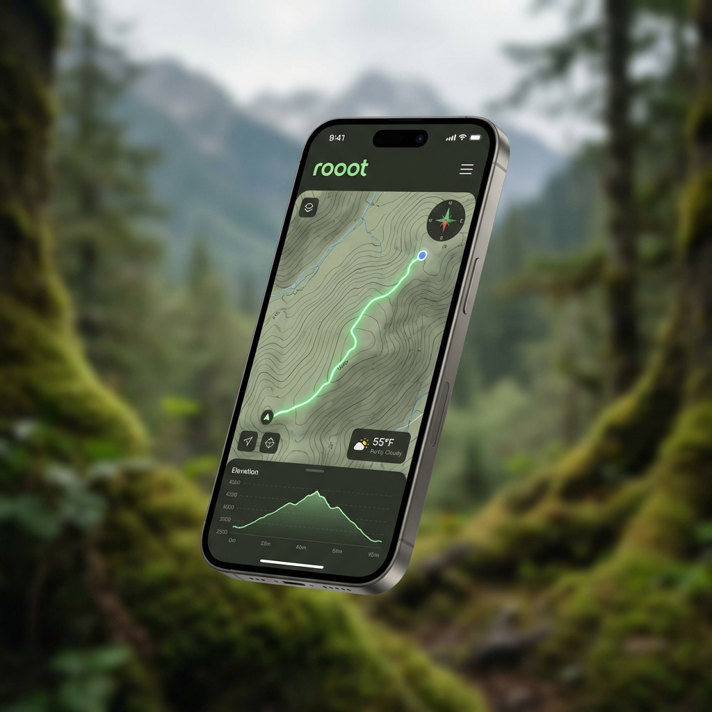
Advanced routing for gravel, road, trail, and on-foot adventures. Analyze surfaces, check elevation, monitor wind and weather, sketch straight lines, or build multi-day trips—all in one place.
Beta
Europe only ·
Active development — rough edges expected